
Kimberley
Biodiversity & Threatened Species, Cultural Awareness, Fire Management, Land Management, Technology
Community engagement and capacity building, Erosion & Landscape Function Management, Indigenous co-design and on-Country delivery, Monitoring, evaluation and impact reporting, Strategic fire management
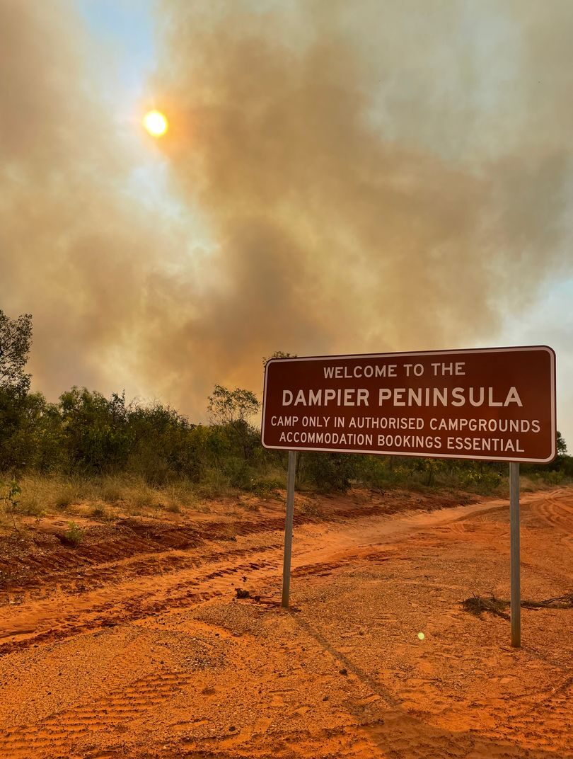
Dampier Peninsula Fire Working Group
Kimberley
Biodiversity & Threatened Species, Cultural Awareness, Fire Management, Land Management, Technology
Community engagement and capacity building, Erosion & Landscape Function Management, Indigenous co-design and on-Country delivery, Monitoring, evaluation and impact reporting, Strategic fire management