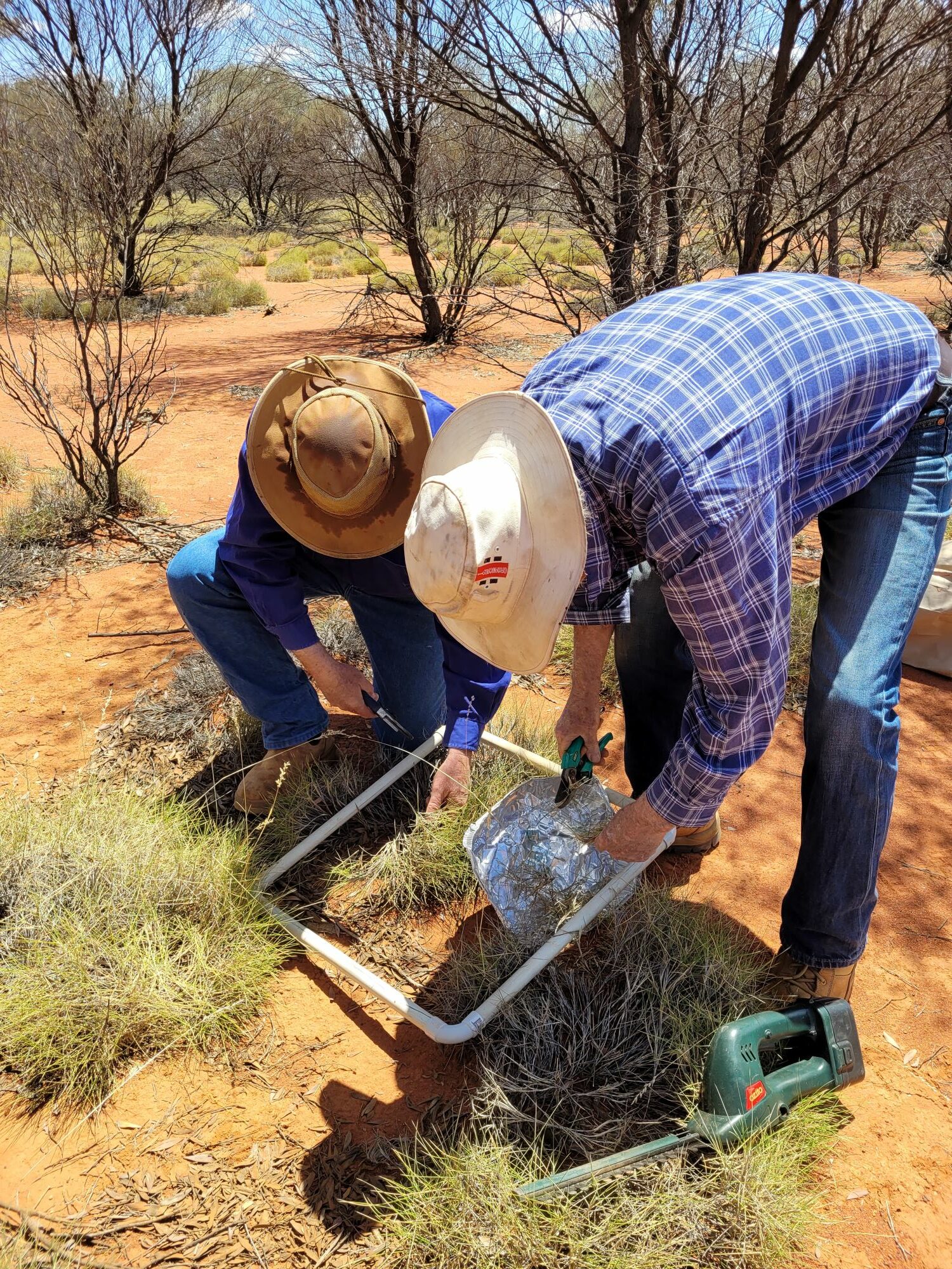
Kimberley Land Management Environmental surveys and baseline assessments, Erosion & Landscape Function Management, GIS, drone, LiDAR and remote sensing services, Monitoring, evaluation and impact reporting National Soil Monitoring Program – Western Australia North Read More
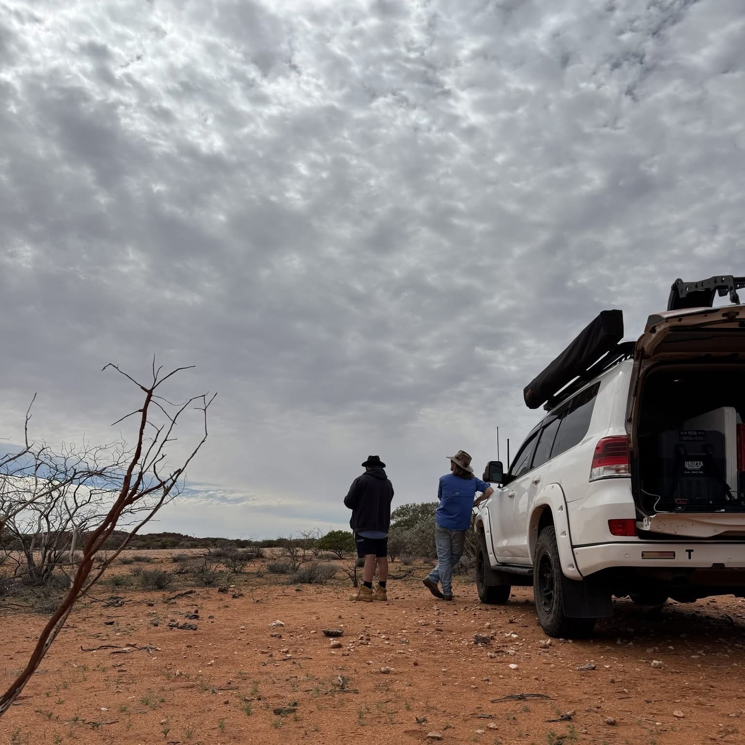
Gascoyne Coastal, Water & Sea Management, Land Management, Social & Community Engagement, Technology GIS, drone, LiDAR and remote sensing services, Monitoring, evaluation and impact reporting, Sustainable agriculture and pastoral land support Gascoyne Catchments Group Drone Surveys Read More