Challenge
Environmental asset information across Western Australia is often held across multiple organisations, datasets and regions, making it difficult to consistently identify, understand and communicate the value of environmental assets.
There is a need for a shared framework and digital mapping tool that can bring together relevant data, improve visibility of environmental assets and support better planning, investment and decision-making.
Solution
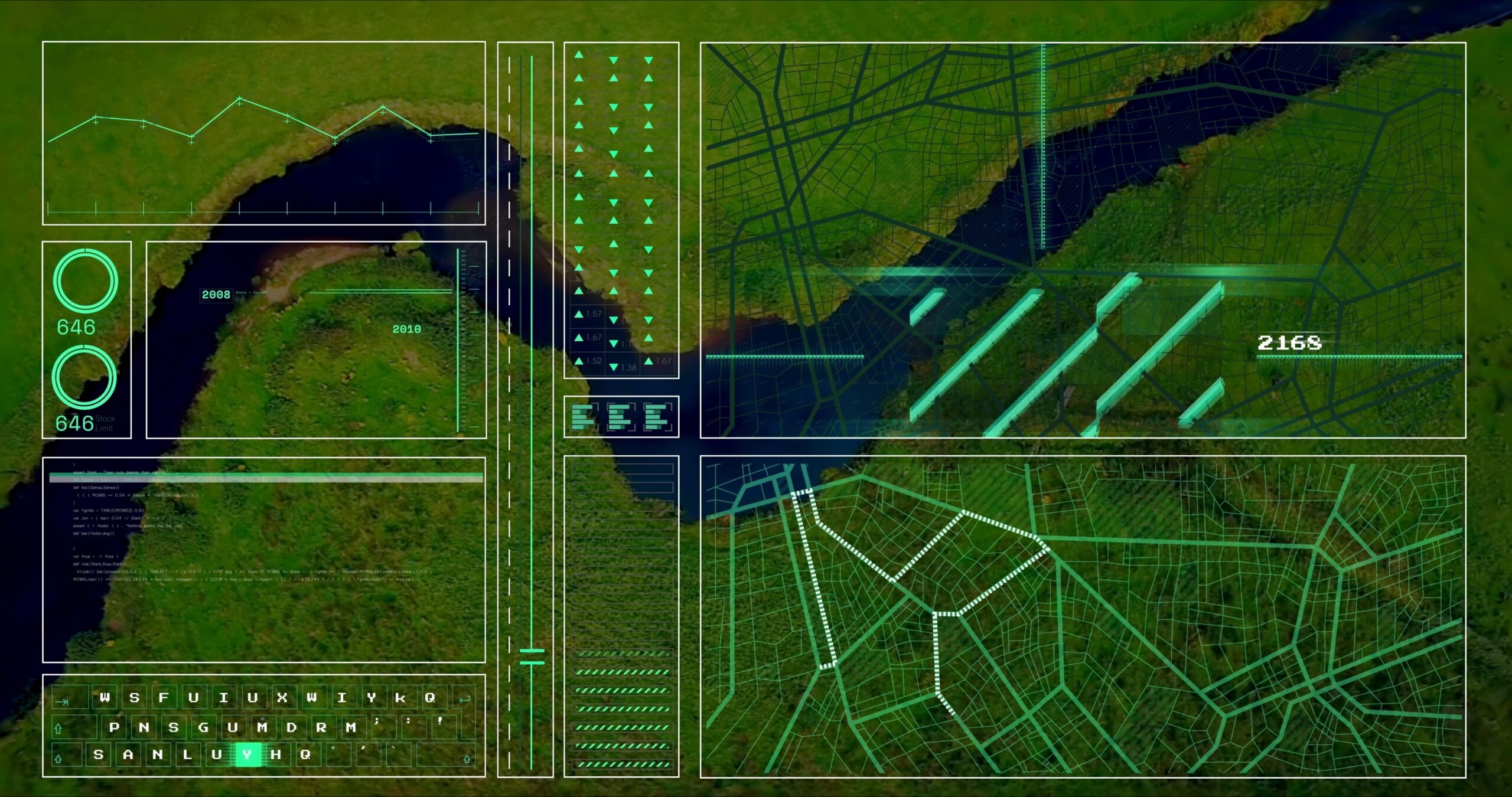
In collaboration with specialists and supporting NRM organisations, Rangelands NRM developed the Western Australian Environmental Assets Framework, supporting data collection, analysis and the creation of a digital mapping tool and dashboard.
The project also included the development of training modules and a comprehensive workbook for NRM staff using MCAS-S software and the NRM Planning Tool. This added a practical capability-building component, helping staff confidently apply the framework, use mapping tools, interpret environmental data and support consistent regional planning.
Impact
The project has improved understanding of regional environmental assets and enhanced decision-making for conservation investments.
Evidence discovery and audit readiness have improved significantly, with faster production of fact sheets, reports and community communications. The project has also strengthened the digital skills and capacity of staff and community members involved in environmental monitoring and reporting.
Outcome
The Environmental Assets & Data Mapping Dashboard project supports the development of a Western Australian Environmental Assets Framework and digital dashboard.
The project brings together data collection, analysis, mapping and digital tool development to improve how environmental assets are identified, understood and communicated across Western Australia. By improving access to environmental information, the project supports better planning, stronger collaboration and more evidence-based investment in the protection and restoration of WA’s natural assets.